July 22, 2024
This time it’s the worst that weve seen it. We’re into the fourth density band of smoke.
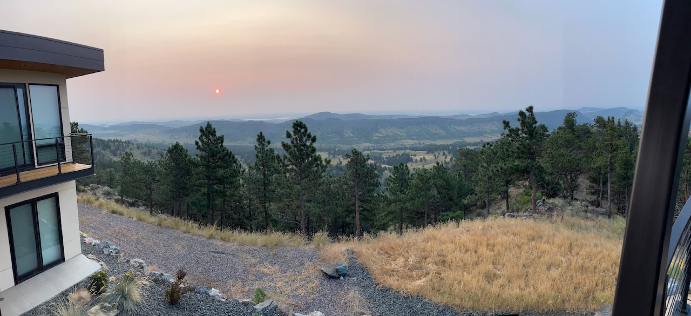
Let’s see what it looks like - this is a panorama, to show that the smoke is everywhere!
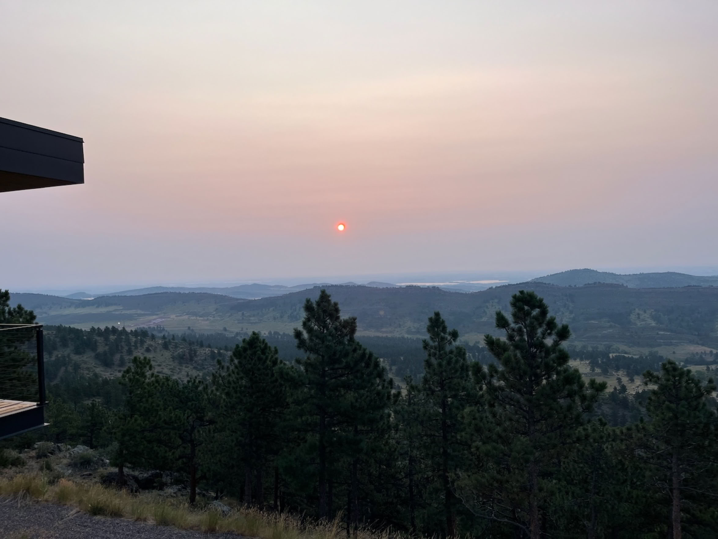
It takes a normal photo to really get a feel for just how thick this stuff is! Even the hogback (the nearest hills) is definitely blurred a bit.

They’ve changed this a bit from last year, you can’t select what size fires to look at, but its roughly comparable. This is from https://firms.modaps.eosdis.nasa.gov/usfs/map/#d:24hrs;@-82.3,40.4,4.0z. This is definitely different from last year. This time the fires are simultanously burning from Newfoundland to Alaska. They aren’t progressing from east to west like they did last year.
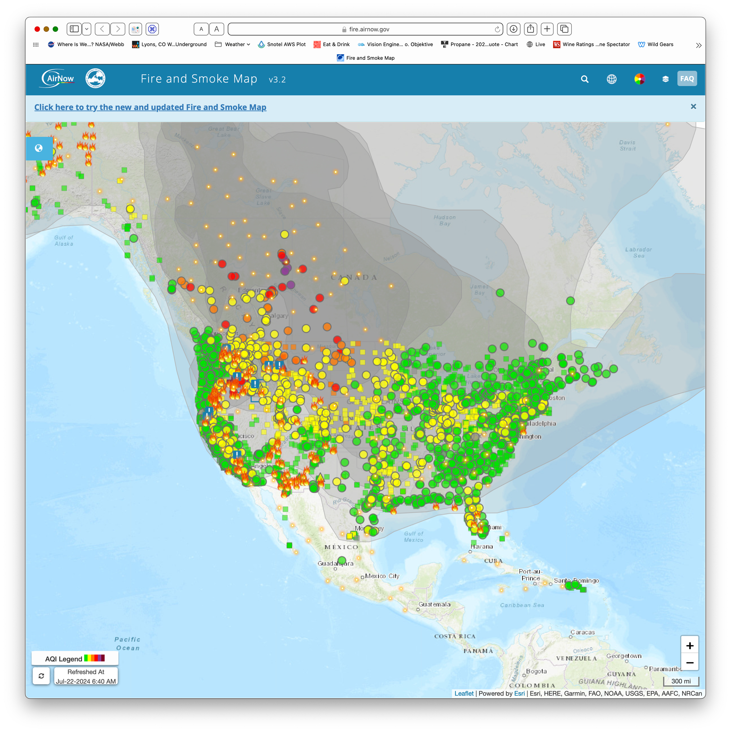
The smoke, or more actually the PM 2.5 map is the same. This time though the smoke is everywhere, not just funneling into the front range corridor. https://fire.airnow.gov
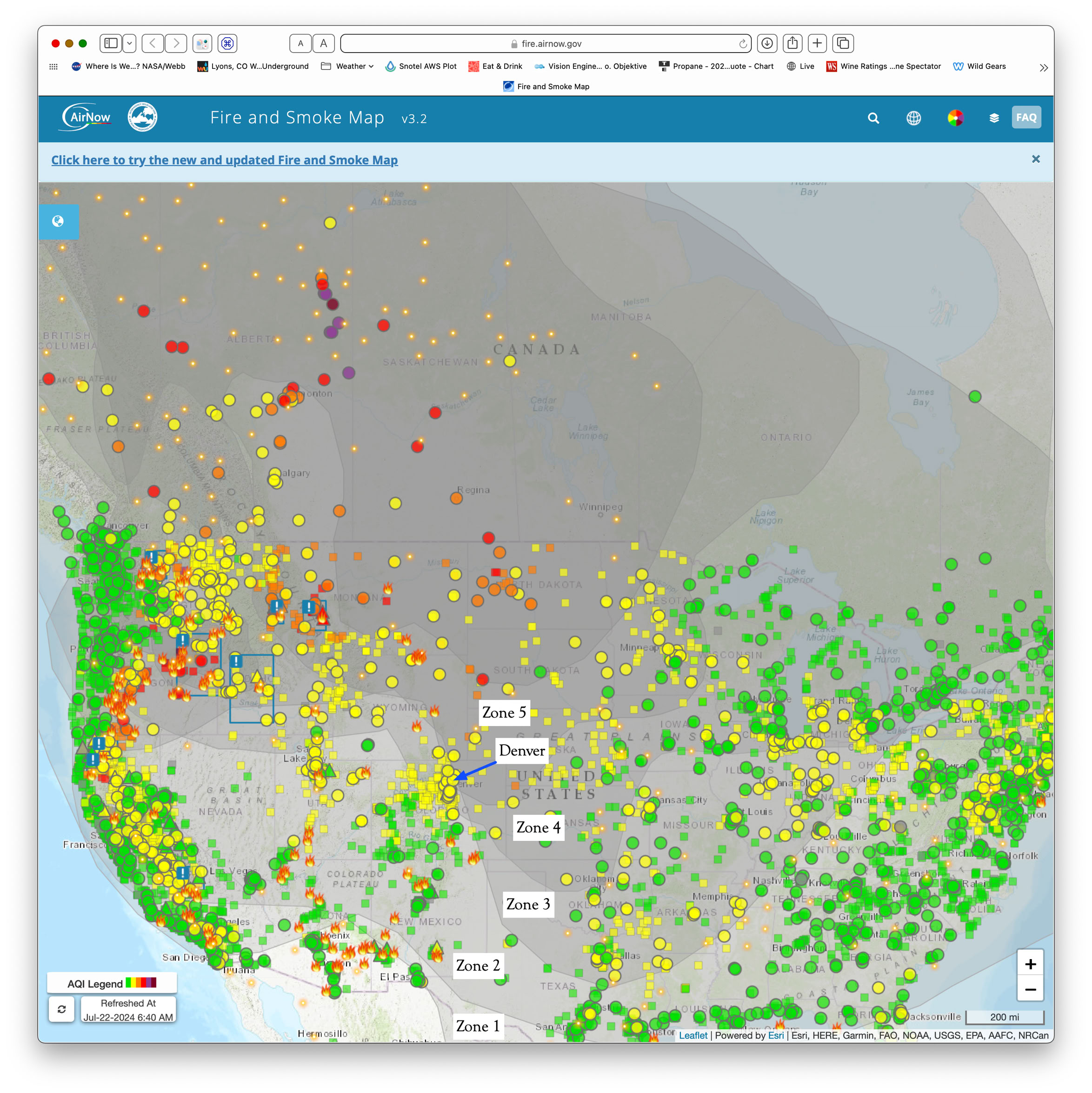
Had to zoom it in a bit to barely see “Denver” the monitoring stations are so thick. As you can see, Denver is right at the edge of zone 5.