4/25/2019
Enough of the trees are down so that we can evaluate the views! Wow! They’re even better than we’d hoped for! When the topographic maps say that the site is at least 300’ above the hogback to the east, it’s difficult to really get a feel for what that means, when all you can see thru the trees is a few scattered glimpses of the hogback itself and even fewer bits of the eastern plains could be seen.
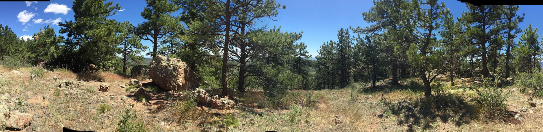
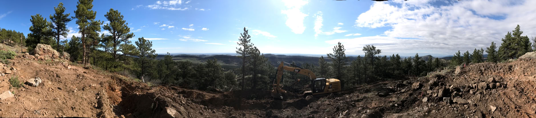
Let’s look at the original versus today’s panorama first. Original is on top, today’s on the bottom. The big rock at the left is the same in both:
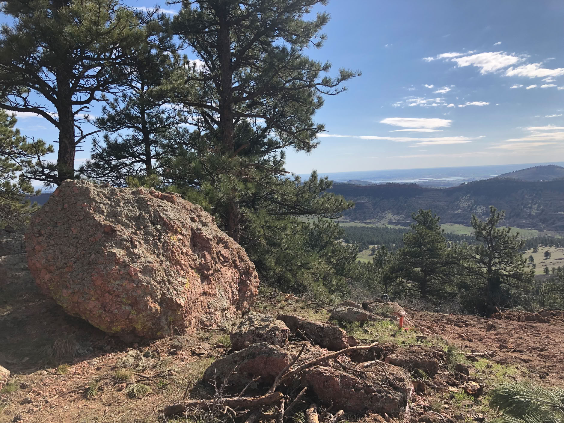
Looking a bit north of east
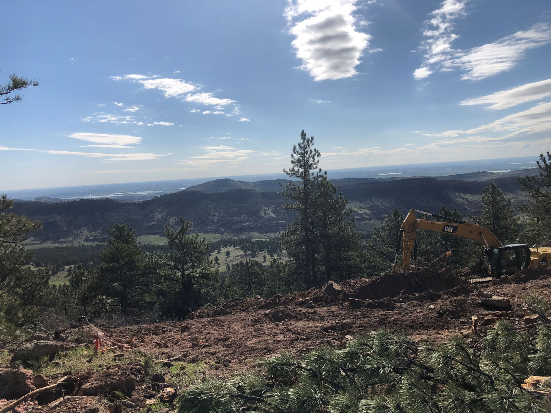
Just about due east. We can see half way to Kansas!
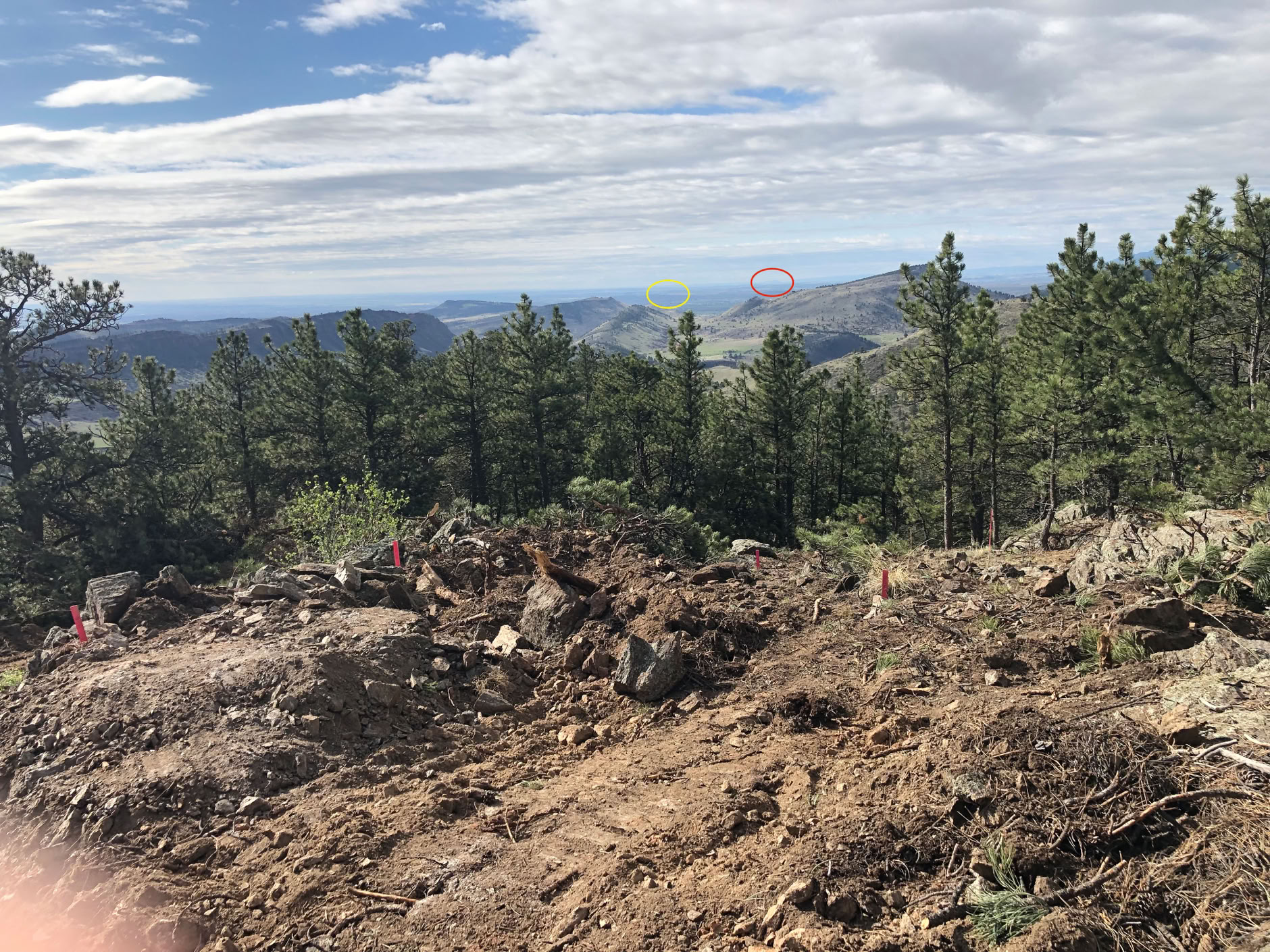
Looking just a bit east of south. The red oval is Pike’s peak, the yellow is LoDo (Downtown Denver) This is where the difference between a true camera and the iPhone shows up. I’ll shoot this again with a big telephoto lens and you’ll really be able to see Pikes peak and the downtown skyscrapers.